Your Guide to Our Next-Gen Geospatial Tile System
What are Hex Tiles™, exactly? Keep reading to learn about the technology behind them and how they can power faster spatial analysis for your business.
A proprietary geospatial technology
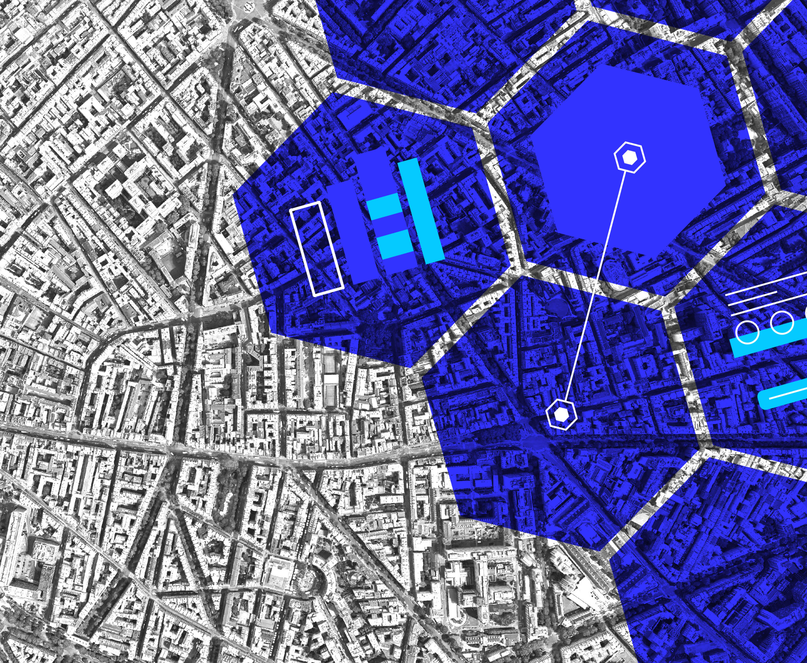
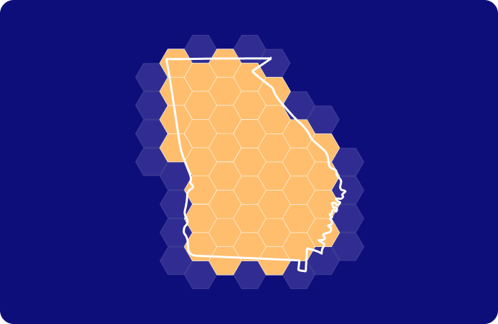
Foursquare Studio’s Hex Tiles are a proprietary analytical tile system that lets users quickly process and unify massive amounts of geospatial data for advanced analysis and quick exploration.
Their unique format utilizes H3, a leading global grid system. It offers superior analytics capabilities due to its hexagonal cell structure.
The power of hexagons, unlocked
What makes hexagons so effective? Though several shapes can tile a plane, hexagons make a grid more consistent for analysis based on these features:

Uniform geometry
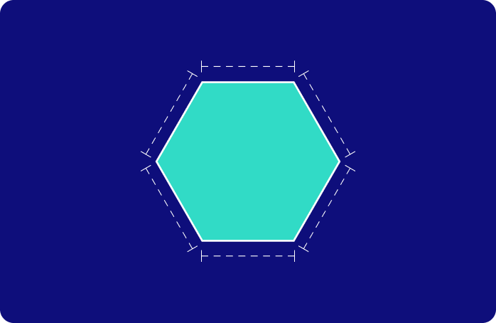
Optimally compact
Ideally space filling

Equidistant from neighbors
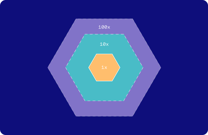
Supports hierarchical relationships
Minimizes shape & area distortion
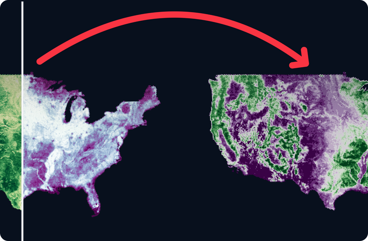
Speed, scale, and simplicity
Perform more efficient geospatial analytics
Take the hassle out of temporal analysis
Simplify data unification
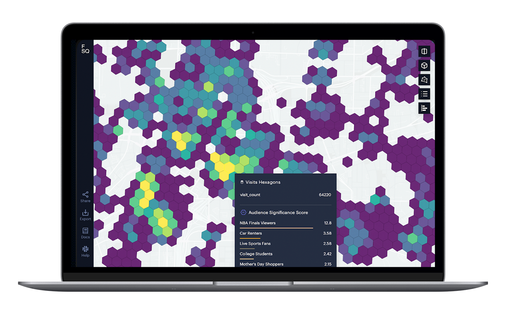
Enable smooth, interactive visualization
Eliminate storage limitations
Perform more efficient geospatial analytics
Data is housed in each Hex Tile in tabular form to be easily filtered, clustered, and aggregated. Hex Tiles can also be used as features for machine learning models by providing a substrate for spatial data.
Take the hassle out of temporal analysis
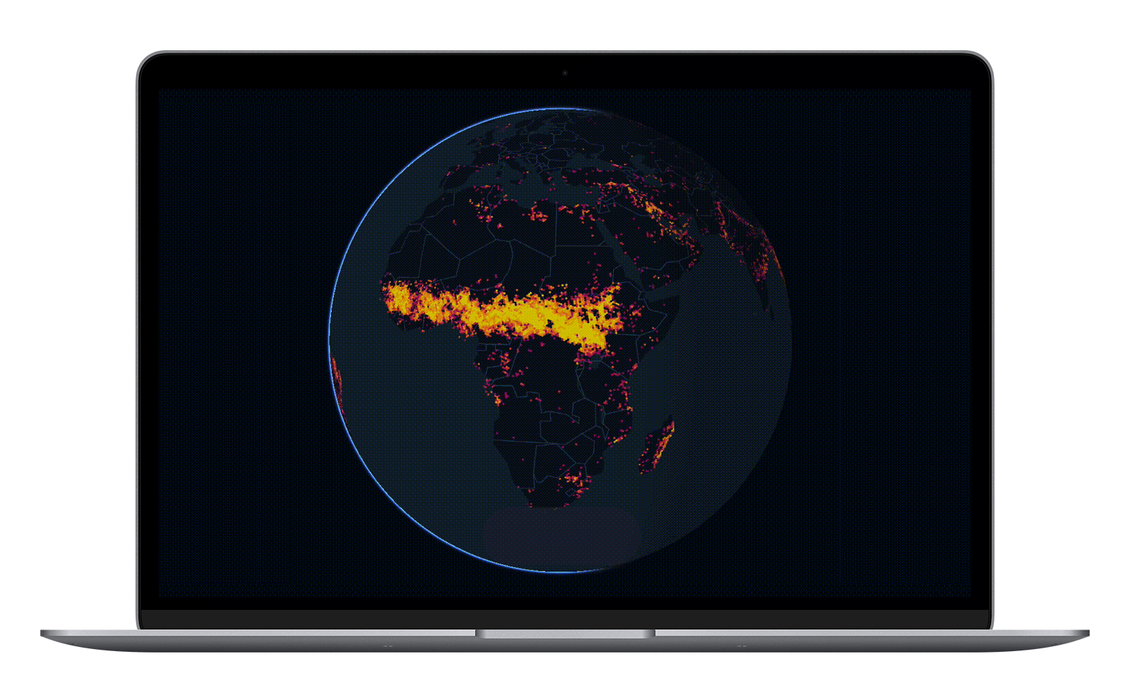
The tiles support and encode spatial and temporal data, enabling users to explore data seamlessly over space and time. The system recognizes the time dimension, so users no longer need to prepare the data for time analysis in advance with a specific period in mind.
Simplify data unification
By transforming data into Hex Tiles, users create uniformity in data of varying shapes, forms, types, and sizes — making ingestion easier. This uniformity simplifies the process of unifying large, diverse datasets, allowing for more efficient analytics and increased data enrichment.
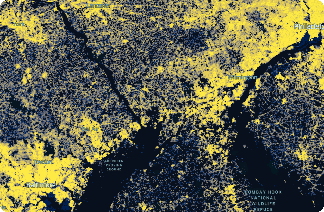
Enable smooth, interactive visualization
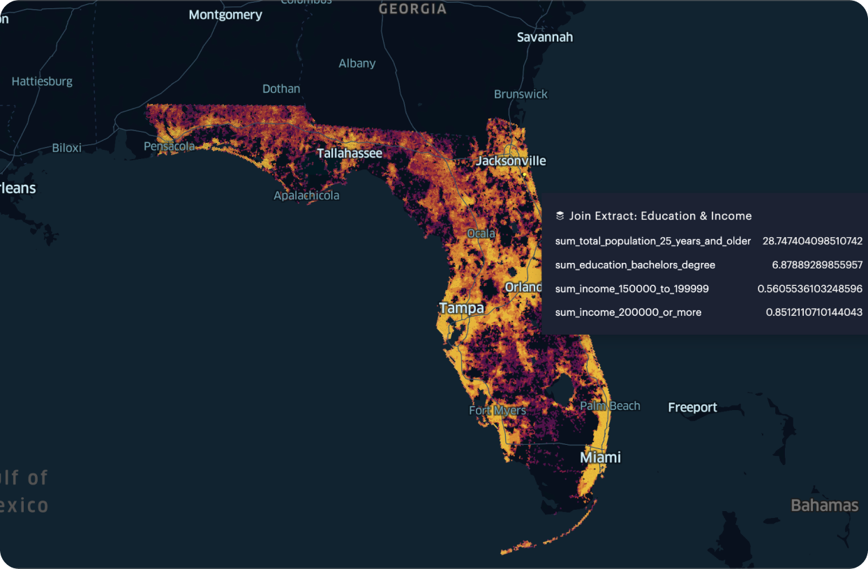
Hex Tiles are well suited to the exploration of large datasets that cannot otherwise be visualized because of the size of the dataset, like using a flat file. They make interactive visualization possible by partitioning (and titling) these datasets while maintaining the desired precision of the dataset.
Eliminate storage limitations
Hex Tiles execute analytics client-side, drastically reducing the need to store and access large amounts of data for analysis. Instead of loading an entire dataset into memory, users only have to add a reference to a tiled dataset provided by a remote system.
Resources to learn more

Ready to power faster spatial analysis with Hex Tiles?
Try out Hex Tiles in Foursquare Studio today.
Set up a Hex Tile pipeline with the Studio Data API.
Get started with Hex Tiles
Depending on your use case, you can transform your own geospatial datasets into Hex Tiles directly in Studio or using Studio’s Data API.