
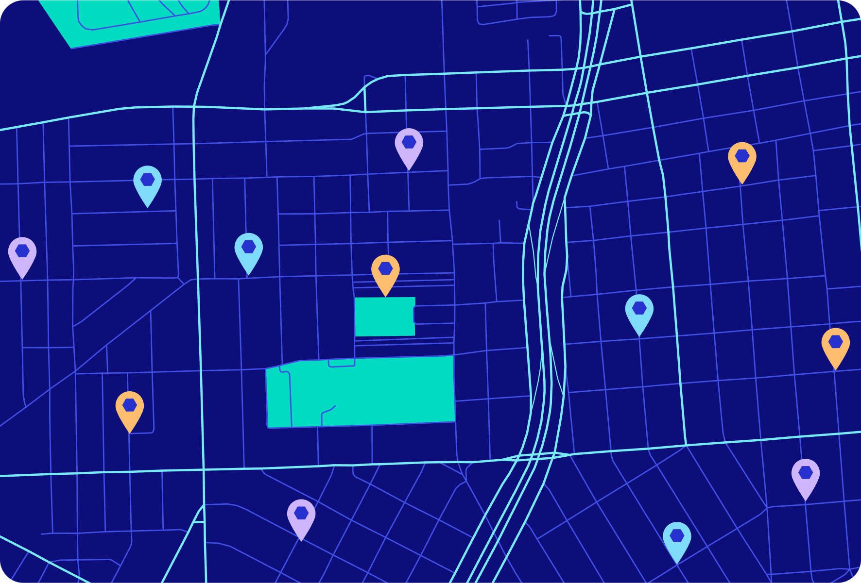
Enhance urban planning decision-making with enriched Places data
Places data provides urban planners the geographic context they need to improve accessibility to amenities, promote equitable development, and foster more livable, sustainable communities. See how Foursquare is helping urban planners leverage fresh local insights in their plans for the future.
Stay up-to-date with changing communities through a daily feed of location data
Integrate the Places API into urban planning dashboards and analytics tools to monitor changes to the local landscape and adapt plans accordingly.

Analyze accessibility to local amenities with up-to-date POIs
Visualize and measure accessibility of critical community elements like green space, public transportation, grocery stores, and more to improve equity among residents.
Understand community needs from trends in population movement
Enrich POIs with population movement insights to understand how residents, commuters, and visitors are interacting with your community.

See how Foursquare enables urban planners with local insight and geospatial context.

Read how Foursquare’s Places API powers LinkNYC
Learn how the City of New York leverages Foursquare’s Places data to help people find trending spots nearby and deliver responsive, localized information in real-time.
Check out the case study
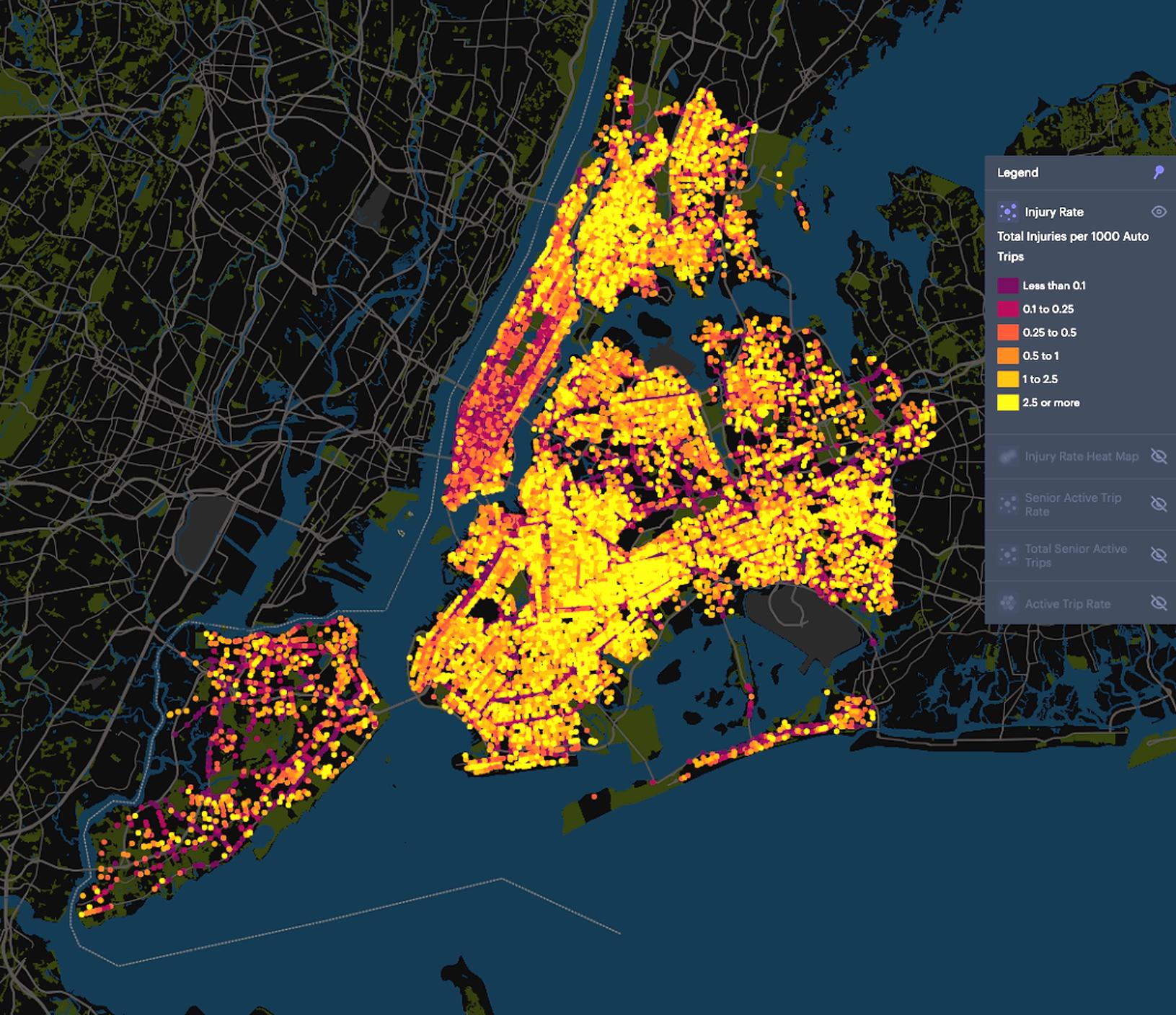
See why Replica partners with Foursquare for safe transportation planning
Foursquare Studio provides Replica with the geospatial analysis and visualization tools needed to build safer transportation networks.
Read the case study
Develop more accessible, equitable, & sustainable communities with geospatial data
See how an up-to-date feed of POI data enriched with population context and visualized with next-generation mapping tools can inform urban planning decision-making.