About Replica:
Replica provides city planners and other customers with a holistic view of how a city’s people, places, transportation networks, economies, and opportunities intersect to help make informed, people-centered decisions. From high-fidelity travel demand models to near-real-time insights that cover mobility, demographics, economic activity, and land use, Replica helps customers make more informed decisions by exploring the relationships among these categories in detail, across space and time.
Challenge:
New York City has taken on a mission to redesign 1,000 intersections in order to make them safer for pedestrians. With over 50,000 intersections across the city, Replica saw an opportunity to leverage the power of data analysis and visualization to understand how changes impact pedestrian safety.
Solutions:
- Replica created a comprehensive dataset complete with each NYC intersection along with attributes such as overall traffic patterns, injury rates, area demographics, and more in order to provide a holistic picture of the city’s infrastructure & incident reports
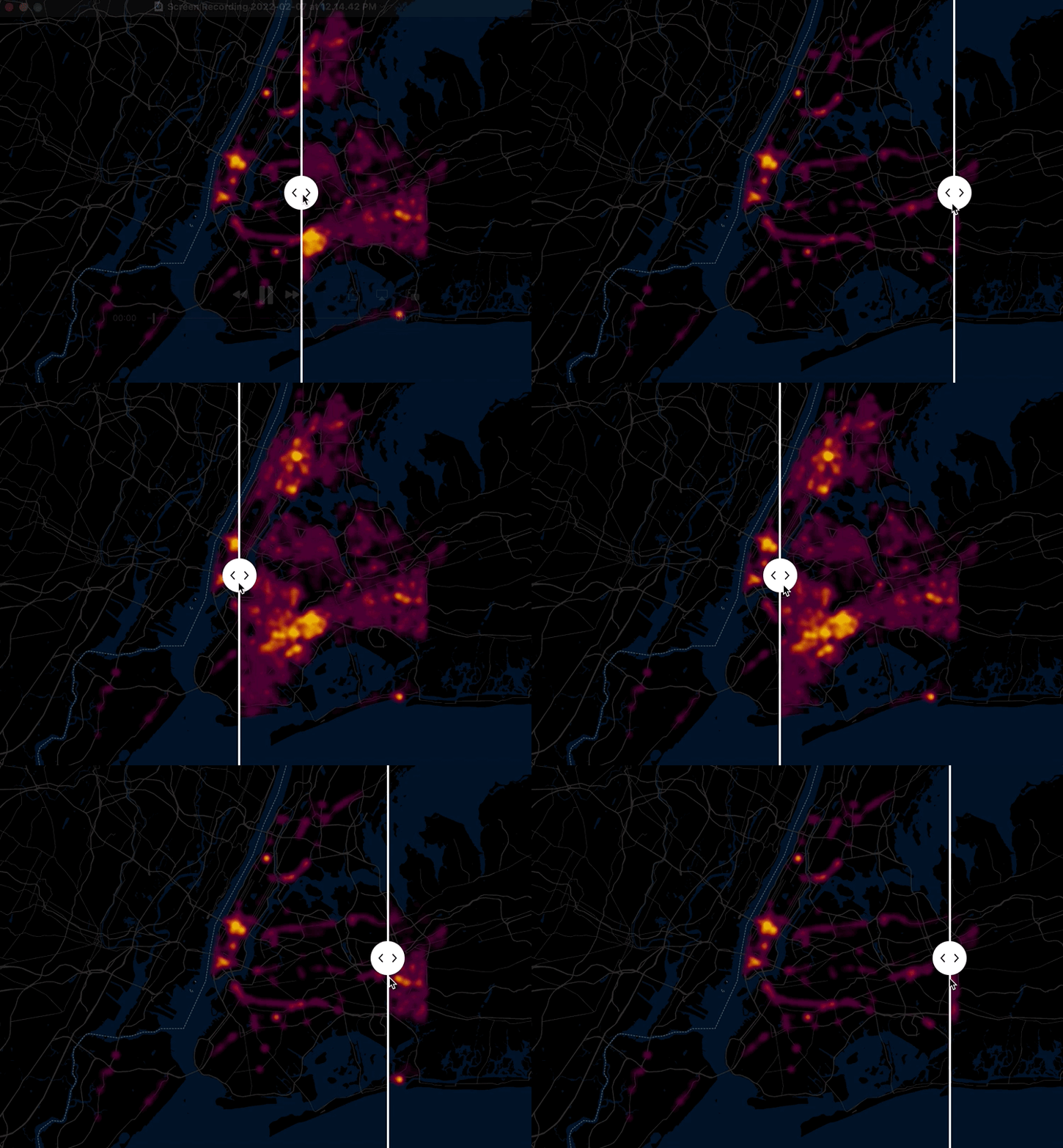
- Replica then input their data into Foursquare Studio to generate highly visual, interactive maps to help policymakers and the public understand more about the intersections where incidents occur along with actionable trends and context
Results:
Analysis through Foursquare Studio revealed that intuitive solutions such as addressing the busiest intersections would not always lead to the highest public safety benefit. Instead, for example, intersections featuring a higher makeup of travelers from lower income areas led to a higher rate of incidents, highlighting ways that unsafe intersections contribute to inequity. Replica was also able to easily factor in NYC’s specific areas of concern, such as locations where senior citizens made up higher shares of trips taken, to support overall pedestrian safety recommendations.


