
Point Layer
The Point Layer draws dots on the map corresponding to latitude/longitude coordinates.
One of the most commonly used layers, the Point Layer can be leveraged in a variety of use cases where coordinates are available. The layer is one Studio's most configurable, with options to base the color, radius, and stroke on an attribute column.
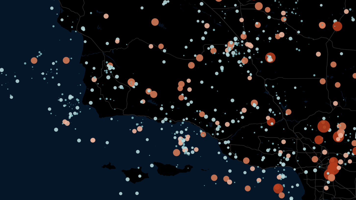
An example of the Point Layer.
Settings
The below section details all settings available for the Point Layer. Expand a section to see all settings.
Basic
Core settings for the Point Layer. Can either be created with a set of point columns or a GeoJSON Point feature.
| Setting | Description |
|---|---|
| Layer Type | Must be Point to display the point layer. |
| Dataset | Required. The dataset to use for the point layer. |
| Point Columns | Specify a latitude, longitude. Optionally, specify an altitude field and a neighbors geo field. |
| GeoJSON Feature | Specify a GeoJSON Point column. |
Fill Color
Settings related to the fill color of the point.
| Setting | Description |
|---|---|
| Fill Color Toggle | Toggle on/off to show/hide fill color. |
| Color Based On | The field to base the fill color on. |
| Color Scale | The color scale and palette for the fill color. |
| Opacity | The opacity of the fill color. 100 = fully opaque, 0 = fully transparent. |
Stroke
Settings related to the stroke (or outline) of the point.
| Setting | Description |
|---|---|
| Stroke Toggle | Toggle on/off to show/hide stroke. |
| Stroke Color Based On | The field to base the stroke color on. |
| Color Scale | The color scale and palette for the stroke color. |
| Stroke Width | The stroke width in pixels. |
Radius
Settings related to the radius of the points.
| Setting | Description |
|---|---|
| Radius Slider | Set a minimum and maximum radius for the points. |
| Radius Based On | The field to base the radius size on. |
| Radius Scale | The scale to base radius on. Choose from linear, square root, and log. |
| Fixed Radius to Meter | Map radius to meter. E.g., 5 radius equals 5 meters. |
| Billboard | Orients points toward the camera. |
Label
Setting for labels, which can be optionally attached to the point.
| Setting | Description |
|---|---|
| Label Field | Select a field to display on the label. |
| Font Size | The size of the font to use on the label. |
| Font Color | The color of the label font. |
| Outline Width | The width of the outline in pixels. Set to 0 to disable the outline. |
| Outline Color | The color for the outline label. |
| Background Color | Toggle to enable a background color for the label. Choose a color with the color selector. |
| Text Anchor | Where, relative to the point, to anchor the text. Choose from start, middle, or end. |
| Alignment | How to align the text. Choose from top, middle, or bottom. |
| + Add More Labels | Add another label to the points. |
Interaction
Settings related to the interactivity of the point layer.
| Setting | Description |
|---|---|
| Allow Hover | Allows viewers to hover points. Hovered points are highlighted and tooltips can be displayed. |
| Highlight Neighbors on Hover | Highlight neighbors (must be specified in the basic settings), fading all other points. |
| SHow Highlight Color | When enabled, highlight the hovered point yellow. |
JSON Schema
For details on how to programmatically specify layer properties, refer to the Layer Configuration specification.
Updated 4 months ago