
JupyterLab
Studio supports both JupyterLab (recommended) and the classic Jupyter Notebook environment.
In the JupyterLab environment, Studio also installs file handlers.
Map SDK used in JupyterLab
Installation
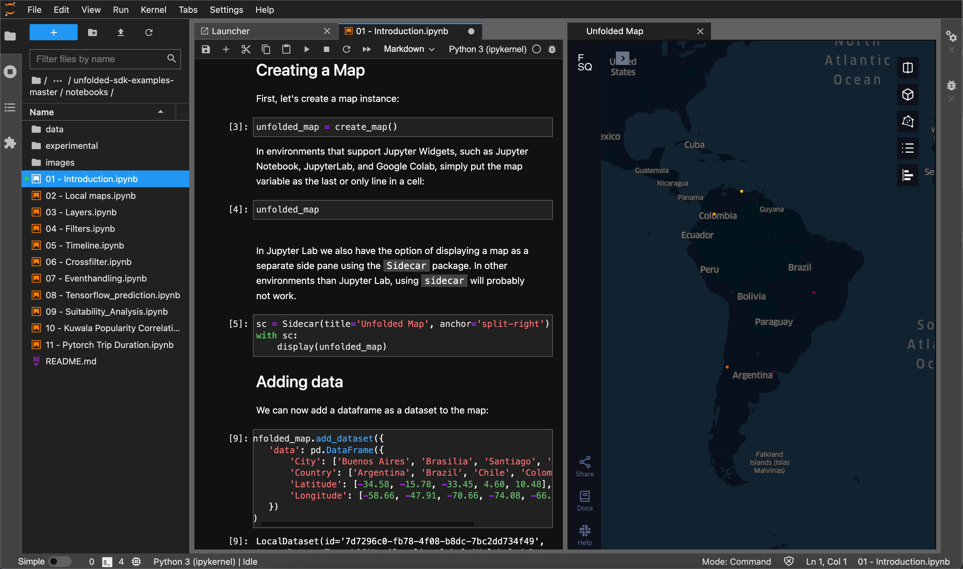
The Map SDK lets you control Studio from a notebook environment. The Data SDK lets you interact with saved maps and datasets in the Studio Cloud from any Python environment, even outside a notebook.
To install both using pip, in a terminal shell run:
$ pip install foursquare.map-sdk foursquare.data-sdk
JupyterLab
The installation method for JupyterLab depends on the version of JupyterLab you have installed. To find your JupyterLab version, you can run jupyter lab --version and consider the left-most number displayed.
JupyterLab version 3
If you are using JupyterLab version 3 or higher, no additional steps are needed after installing the SDKs.
JupyterLab version 1 or 2
If you are using JupyterLab version 1 or 2, you must complete the below steps to install the JupyterLab extension.
Prerequisites for JupyterLab version 1 and 2:
Then install the JupyterLab extension:
$ jupyter labextension install @jupyter-widgets/jupyterlab-manager @foursquare/jupyter-map-sdk
Jupyter Notebook
Note: Jupyter Notebook is not recommended, lacking stable widget support and file handlers. Please consider JupyterLab, which provides improved stability and file management.
If you are using Jupyter Notebook instead of JupyterLab, you must also run:
$ jupyter nbextension install --py --symlink --sys-prefix foursquare.map_sdk
$ jupyter nbextension enable --py --sys-prefix foursquare.map_sdk
Studio File Handlers
As of Map SDK version 0.6.0, Studio is registered as a JupyterLab file handler for .geojson and .csv files. This is an easy way to explore your geospatial datasets without starting a Python environment.
Simply right click a file with a valid extension and choose "Open With > Studio".
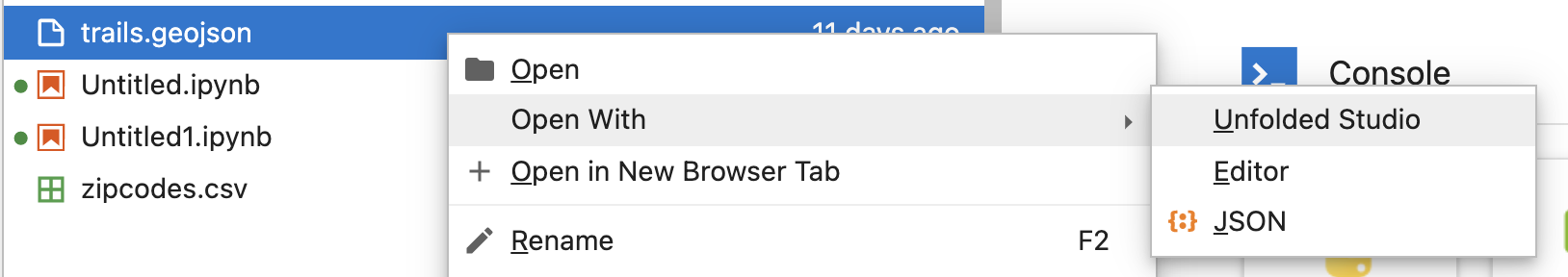
Studio will open in a new pane and load that dataset.
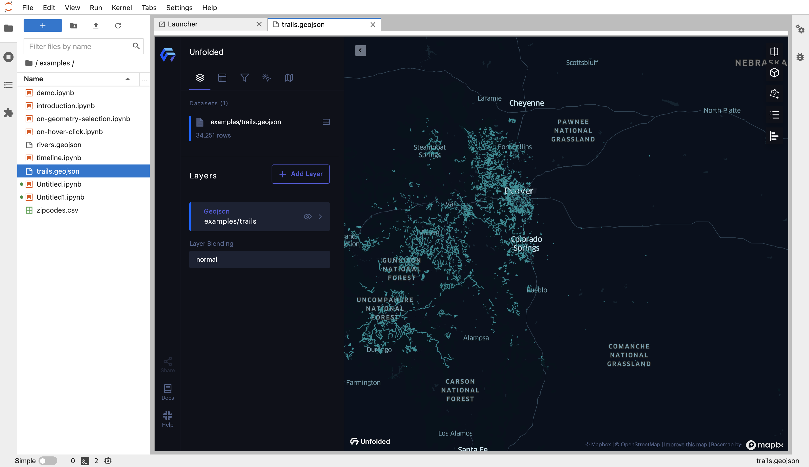
A GeoJSON layer visualized via the Studio File Handler.
Updated 10 months ago