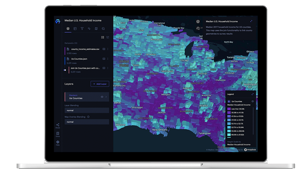
Foursquare Studio: Visualize, unify, enrich, and analyze spatial data on a planetary scale — in one easy-to-use platform.
Speak to an Expert
Learn how you can unlock real-time location insights in minutes, not days.
Leading companies use Foursquare Studio to power their business


Foursquare Studio allows you to:

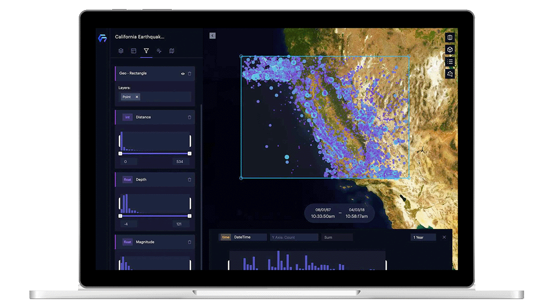
Create geospatial visualizations
Enrich your analysis by adding pre-prepped data from our catalog, then visualize and animate it to share with others

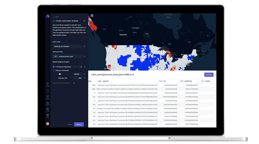
Integrate analytics into your workflows
Build geospatial applications by controlling, embedding, and customizing maps on web pages or Jupyter notebooks

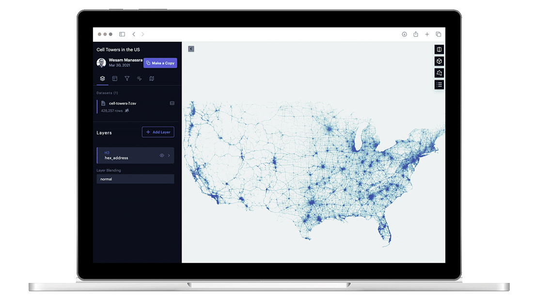
Easily process and analyze large scale data
Thanks to our proprietary tiling system, Hex Tiles, users can easily process and unify massive amounts of geospatial data for advanced analysis and fluid visualization.

Connect with Studio’s community
Join our open-source environment where multiple organizations and individuals can collaboratively contribute
Foursquare Studio in action
Supply chain management
Visualize supplier locations, distribution centers, and vehicle routes to improve supply chain management.
Market analysis
Improve market knowledge and assess potential risks and benefits for real estate investments.
Competitive insights
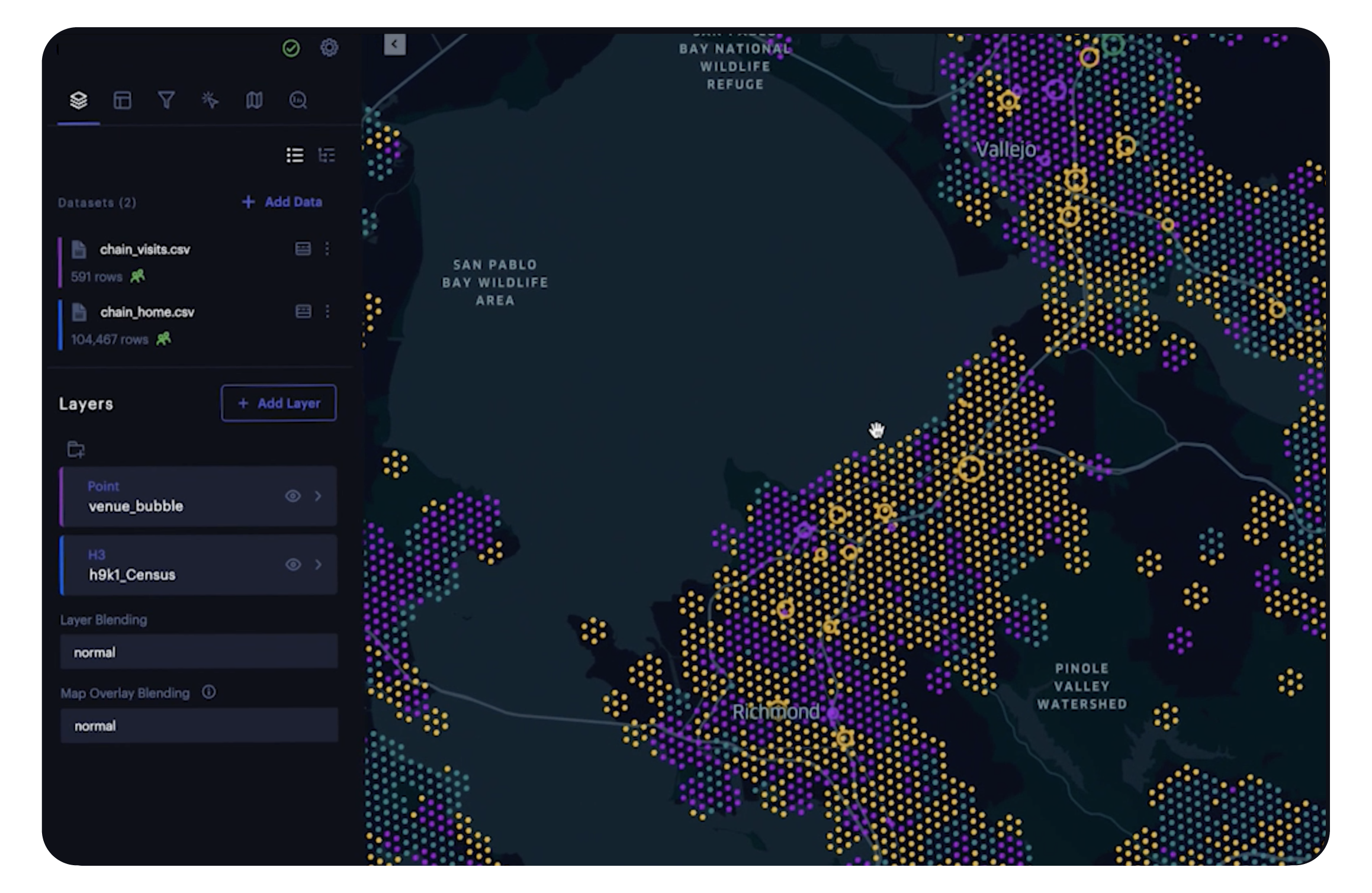
Compare visits to your locations versus the competition over time with clear, visible representation of visit volume.
Site selection
Identify optimal locations for new outlets through suitability and similarity analysis.
Get in Touch
Tap into powerful insights with your geospatial data using the Foursquare Studio data visualization platform.