
Hexbin Layer
The Hexbin Layer is similar to the Hexbin Layer. They display distributions of aggregate metrics such as point count within each hexbin, average/max/min/median/sum of a numerical field, or mode/unique count of a string field.
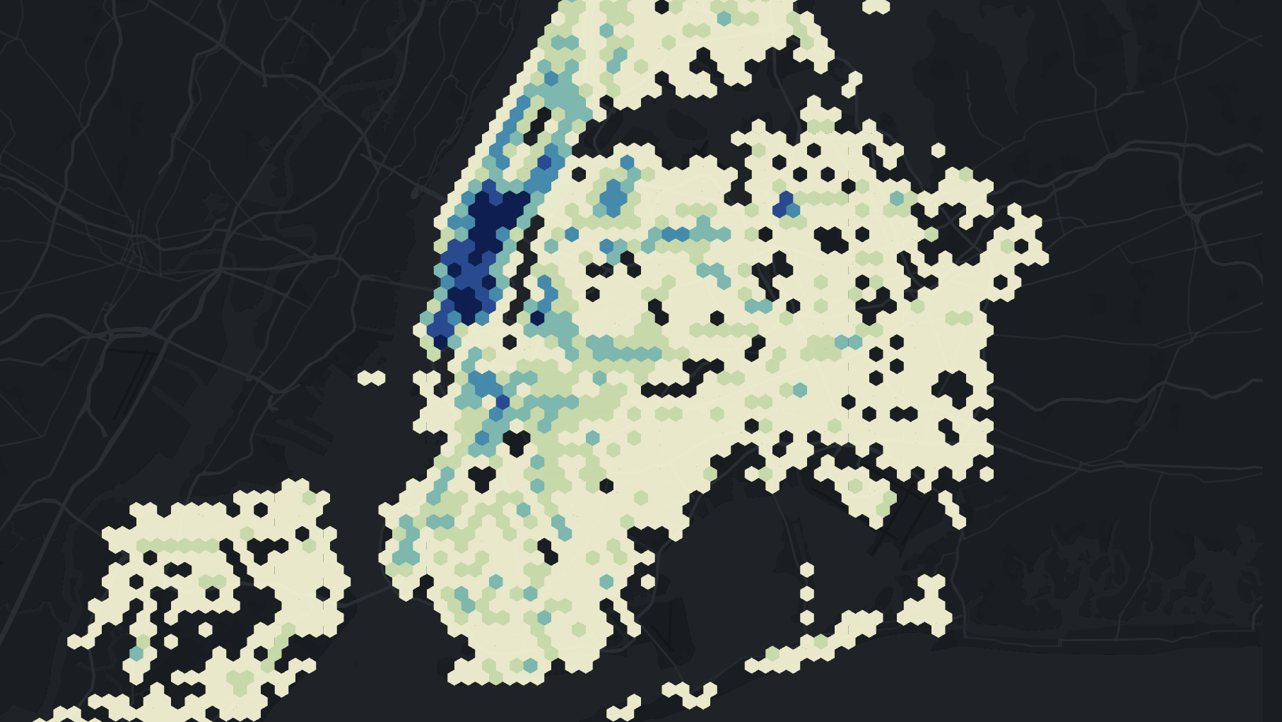
An example of the Hexbin Layer.
Both the color and height dimensions can encode data. Users can adjust the hexagon radius and the space between hexbins.
Settings
The following sections detail every setting available for the Hexbin Layer.
Basic
Core settings for the Hexbin Layer.
| Setting | Description |
|---|---|
| Layer Type | Must be Hexbin to display the Hexbin Layer. |
| Dataset | The dataset to use for the Hexbin Layer. |
| Columns | Select a latitude and longitude. |
Color
Color settings for the Hexbin Layer.
| Setting | Description |
|---|---|
| Color Based On | The column to base the hexbin color on. Defaults to point count. |
| Color Scale | The color scale and palette for the hexbin color. |
| Filter By Count Percentile | Modify the color scale's range by count percentile. |
| Opacity | The opacity of the hexbin. 100 = fully opaque, 0 = fully transparent. |
Radius
Resolution settings for the Hexbin Layer.
| Setting | Description |
|---|---|
| Radius (Km) | The size of each hexagon in kilometers. |
| Coverage | The amount of each hexbin space covered by the hexagon. Decrease to leave extra space between each hexagon of the hexbin. |
Height
Height settings for the Hexbin Layer. Best viewed in 3D mode.
| Setting | Description |
|---|---|
| Height Multiplier | The factor to multiply the height by. Increase to raise the height of each hexagon on the map. |
| Height Based On | A column to base the height on. Defaults to point count. |
| Height Scale | A scaling factor to apply to the height. Choose from linear, sqrt, or log. |
| Height Range | Set the minimum and maximum height on the slider. |
| Fixed Height | Fix the height to a static number without any modifications. |
JSON Schema
For details on how to programmatically specify layer properties, refer to the Layer Configuration specification.
Updated 3 months ago