
Cluster Layer
The Cluster Layer visualizes aggregated data based on a geospatial radius. This layer is particularly useful for gathering insight from an area, grouping nearby points into a single entity.
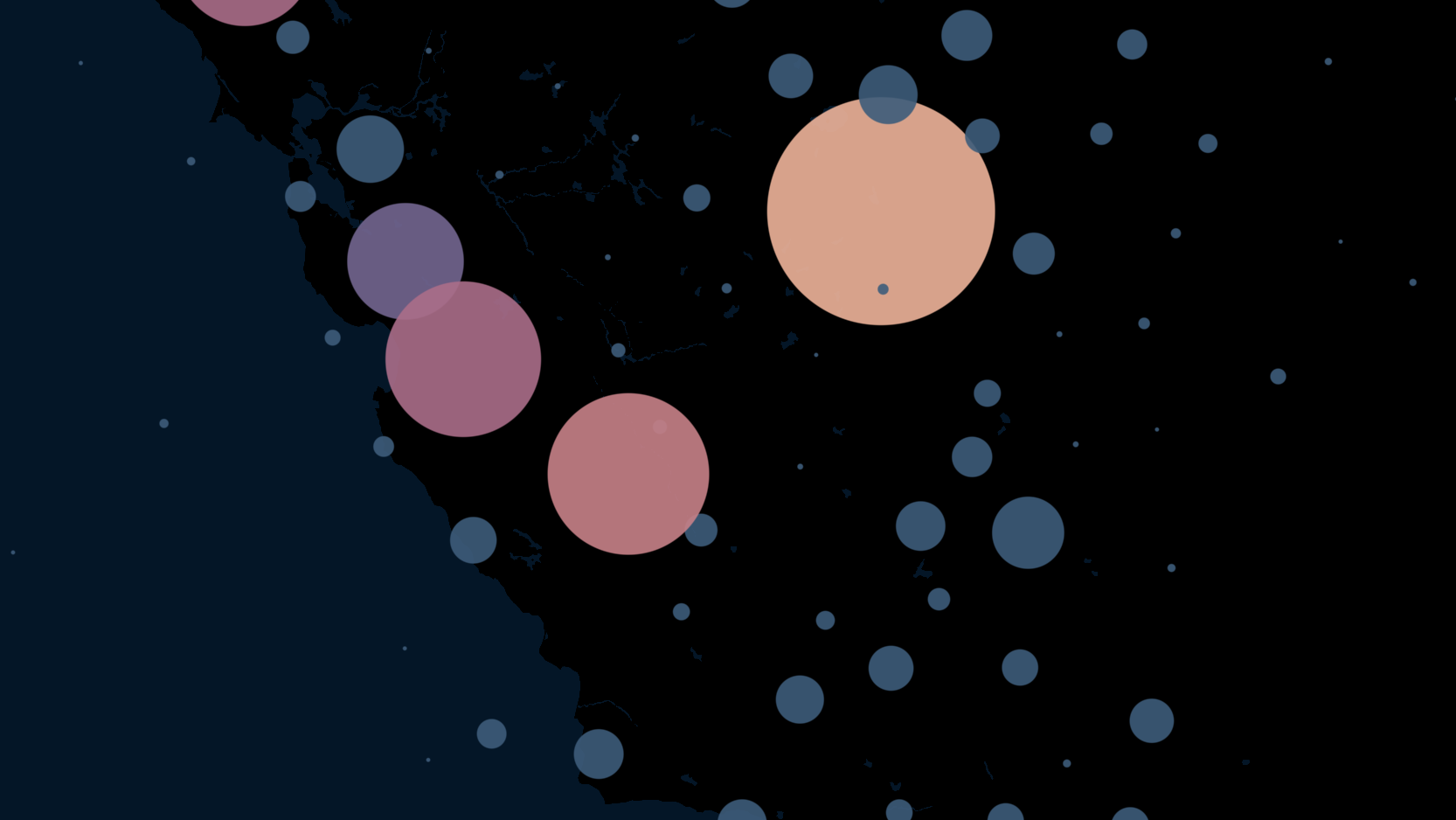
An example of the Cluster Layer.
Settings
The following sections detail every setting available for the Cluster Layer.
Basic
Core settings for the Cluster layer.
| Setting | Description |
|---|---|
| Layer Type | Must be Cluster to display the Cluster Layer. |
| Dataset | The dataset to use for the Cluster Layer. |
| Columns | Specify a latitude and longitude column. |
Color
Color settings for the clusters.
| Setting | Description |
|---|---|
| Color Scale | The color scale and palette for the cluster color. |
| Color Based On | The field to base the cluster on. |
| Aggregate Magnitude By | How to determine the magnitude of the aggregated points. Choose from standard aggregation options such as count, max, sum, and more. |
| Opacity | The opacity of the clusters. 100 = fully opaque, 0 = fully transparent. |
Radius
Radius settings for the clusters.
| Setting | Description |
|---|---|
| Cluster Radius in Pixels | The radius in pixels to cluster points. Increase to create less clusters, decrease to create more clusters. |
| Radius Range in Pixels | The range of radius sizes. |
JSON Schema
For details on how to programmatically specify layer properties, refer to the Layer Configuration specification
Updated 3 months ago